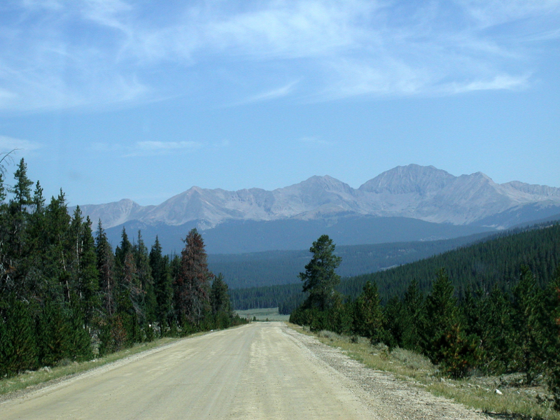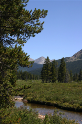
One of Colorado's scenic back roads.
Encompassing most of the Southern Rocky Mountains and the northeastern portion of the Colorado Plateau, Colorado was named for the Colorado River which early Spanish explorers named Rio Colorado for the red colored silt the river carried from the mountains. The state has the nickname of the "Centennial State" because it was admitted to the Union in 1876, the centennial year of the U.S. Declaration of Independence. The capital, nicknamed "The Mile High City" is Denver.
 Unlike most of the United States, Colorado's climate is quite complex. The climate in southern Colorado is not necessarily warmer then that of northern Colorado. Made of mostly mountains, foothills, high plains and desert lands, the mountains and surrounding valleys greatly affect local climate.
 Colorado is home to approximately 18 Nationally Protected Areas. Some of the more well known areas are: Rocky Mountain National Park, Mesa Verde National Park and Great Sand Dunes National Park.
Within the borders of Colorado, the Rocky Mountains contain over 50 peaks that are 14,000 feet or higher in elevation. The 30 highest major summits of the North American Rocky Mountains are located in the Colorado Rocky Mountains.
In addition, the Continental Divide extends along the crest of the Rocky Mountains in Colorado. Water that runs off the western side of the mountains eventually makes its way west into the Gulf of California.

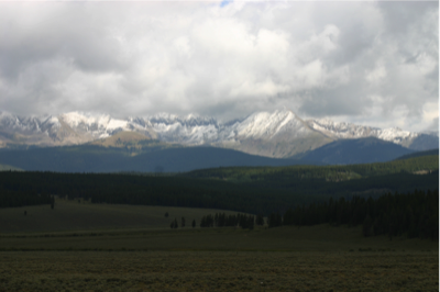
The Sawatch Range

Ice Mountain from a distance
Within the borders of Colorado, the Rocky Mountains contain over 50 peaks that are 14,000 feet or higher in elevation. The 30 highest major summits of the North American Rocky Mountains are located in the Colorado Rocky Mountains.
In addition, the Continental Divide extends along the crest of the Rocky Mountains in Colorado. Water that runs off the western side of the mountains eventually makes its way west into the Gulf of California.


